In our endeavor of mapping the world, there has been a good number of inventions and developments that would keep us amazed for the rest of our lives.
![]()
The history of panoramic photography is quite an interesting one, and has referents from the very beginning of Photography. From the first 1843 hand-cranked camera, with fixed-lens, and a 150° field of view, to the full rotation of the Panoscan, there is an enormous list of devices, apparatus, machines, and general concoctions that were developed in the race for a perfect experience of a panorama.
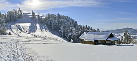
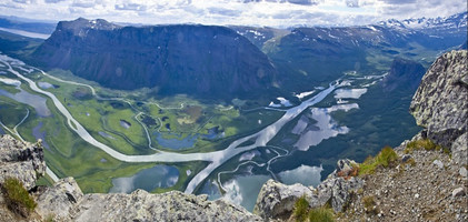
Nowadays, some of the most interesting panoramas I have seen are made with the Gigapan, and through the 360-degree panoramic images. Both systems are quite different, and are experienced differently too. The 360 panorama places segments of images taken within an imaginary three-dimensional sphere, so we are able to look anywhere within it. The Gigapan system is just a stitching of a number of high-res images on a flat surface, without three-dimensional distortion. It is done with such accuracy that you are able to zoom in to a very close distance, often discovering interesting features in the panoramas. Both systems yield very interesting results.

Have a look at these 360 panoramas.
The Gigapan:

Have you ever wonder what it should be like to have eagle eyes?
Gigapan images are created using a robotic camera mounted on a tripod and software developed by Carnegie Mellon University and NASA Ames Research Center. The Gigapan system can be combined with web mapping services to give detailed views of geographic features. It enables even inexpensive digital cameras to take hundreds of overlapping digital images that are then programmatically stitched together into a single panoramic image. Because each image can be composed of billions of pixels, the resolution is astounding. Gigapan images can be panned and features zoomed to amazing detail not available on ordinary digital images. And all for under eur400.
If you already enjoyed the pleasures of traveling with Google Earth, try now to enable the Gigapan layer.
Some cool imagery includes:
![]()
Sliabh Liag, Donegal, Ireland.
![]()
Dublin Castle, Dublin, Ireland.
And of course:

President Barack Obama’s Inaugural Address
via Gigapan

The Gigapan imagery is presented on their site with a flat pan-zoom interface. However most of this imagery is being projected onto a curved surface and that projection can subsequently be undone – allowing for the 3dimensional look-around feel that you mention. Just view the Gigapan layer in Google Earth or Gigapan through HDView: http://www.emrichs.de/hdview/prague.htm to see what I mean.
Brilliant, thanks!
Wow. These are amazing. Ive see the inauguration one promoted in The Boston Globe, but the one of Dublin Castle is wonderful. It really is a hidden gem in Dublin.
Great blog by the way & thanks for sharing the photos from last years Ranelagh Festival.
Hasta la vista!
Erik
Ranelagh based poet & writer